Accession#:
1994A-102
Date:
1954
Title:
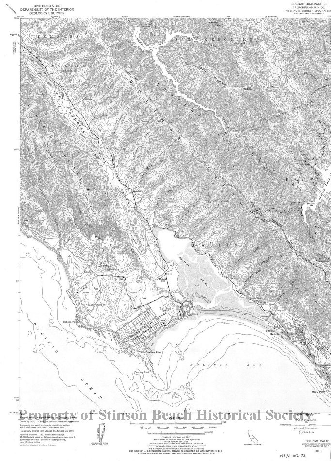
Bolinas Quadrangle U. S. Geogogical Survey
Area / Region:
Bolinas Quadrangle
Publisher:
U. S. Geological Survey
Pubication Date:
1954
Language of Material:
English
Size:
22" x 27"
Medium:
paper
Scale:
2 5/8" = 1 Mile
Location of Originals:
Library Map Drawer
North Latitude:
38D 00'
Catalog Date:
02/07/2005
Collection:
SBHS Archival Collection/Map Collection
Creator:
U. S. Geological Survey
Dates of Creation:
1954
East Longitude:
122D 38'
Map Language:
English
Scope & Content:
Map showing Bolinas, Stinson Beach, Bolinas Bay, Bolinas Lagoon, and San Andreas Rift.
Search Terms:
Stinson Beach
Bolinas
Bolinas Bay
Bolinas Lagoon
Bolinas Quail Refuge
San Andreas Rift Zone
Bolinas Ridge
Punta De Los Reyes
Woodville
Maps
Bolinas
Bolinas Bay
Bolinas Lagoon
Bolinas Quail Refuge
San Andreas Rift Zone
Bolinas Ridge
Punta De Los Reyes
Woodville
Maps
West Longitude:
122D 45'
Click to Enlarge
 Map showing Bolinas, SB and Bo
 Map showing Bolinas, SB and Bo